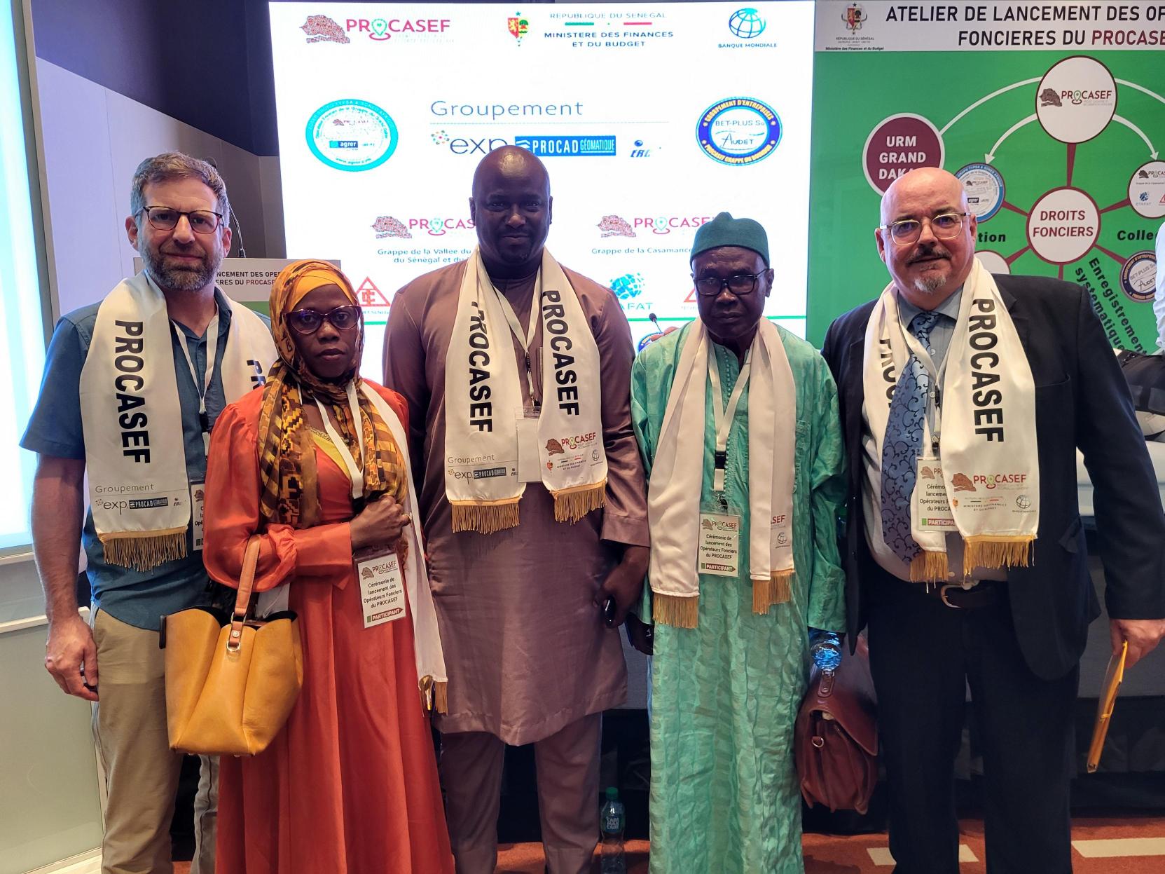
EXP has been selected by the Senegalese Government to leverage its international experience for Senegal’s Cadastre and Land Tenure Improvement Project.
This multi-year project, financed by The World Bank, will create a a global cadastral map that will help establish land occupation to ultimately provide land tenure security to over 500,000 beneficiaries. EXP, in partnership with PROCAD Géomatique and Senegalese research group ERCE, has been awarded the contract by the Senegalese government for the Arachidier Basin area, which includes 37 communes and covers an area of over 700,000 hectares.
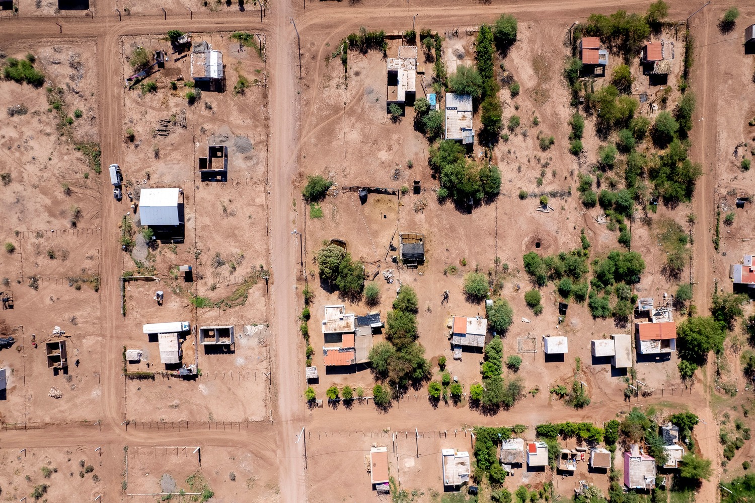
To help facilitate local land ownership, EXP alongside its partners, will produce a detailed map of the land parceling in the area. The data collected will be used to identify and regularize property rights.
Collaboration and local community involvement is critical to this project, in order to collect both cartographic and social/land data and support and inform Senegalese people of new implemented land tenure standards.
“To improve communities, it is critical to strengthen land and property rights. We are proud to bring our international expertise and strong partnerships to this project and help counter land ownership gender disparities. As part of this project, more than 90,000 families will obtain land tenure security for their parcel, with 30% going to women. Training in land security will also be provided to thousands of people, 30% of which will be women. This will play a crucial role in creating new opportunities for Senegalese women,” said EXP’s Senior Vice President, International Julie Beauséjour.
Learn more about our international projects > International Development | EXP

