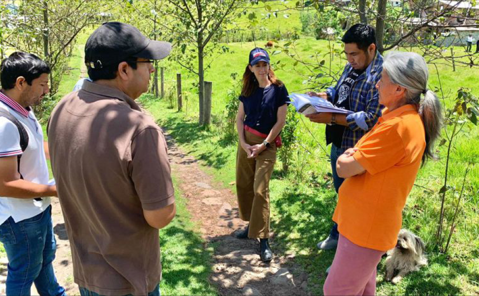
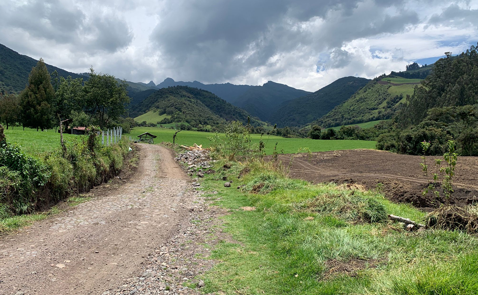
Our International sector, led by Julie Beauséjour, in collaboration with our geomatics experts, have been selected by the Ministry of Agriculture of Ecuador (Ministerio de Agricultura y Ganadería – MAG) to deliver two projects: a national census of farmers and the agricultural mapping of the country. The projects will result in an official register, created through georeferenced interviews and will provide the MAG with a better understanding of Ecuador’s agricultural production and living conditions of nearly 400,000 farmers in an area equivalent to 30% of the country’s total land.
Our teams have developed a mobile data collection application to survey the type of production, raw material costs and the results of agricultural product marketing and will support the MAG in conducting 400,000 survey interviews with farmers. More than 500 temporary jobs in Ecuadorean communities will be created to support the data collection.
To facilitate agricultural mapping, our geomatics experts will update the thematic maps of land use across the country. Our teams will use artificial intelligence to analyze satellite images of the country to map the census area. “The use of artificial intelligence is highly beneficial for this kind of project,” said Julie Beauséjour, Senior Vice-President, International. “With Ecuador’s diverse landscape, this technology enables us to acquire accurate mapping information with increased precision at a faster pace which enhances our ability to oversee and manage the field surveys.”
The contracts were signed in November in the presence of Canada’s ambassador to Ecuador, Stephen Potter.
To learn about our international projects, click here.


